Google Maps Trails
concept feature-add

Responsibilites
UX design, secondary research, usability testing, wireframing, and prototyping for iOS
Tools
Figma, FigJam, Notion
Target User
Adventurers and Explorers
Timeline
2 weeks
Problem Statement
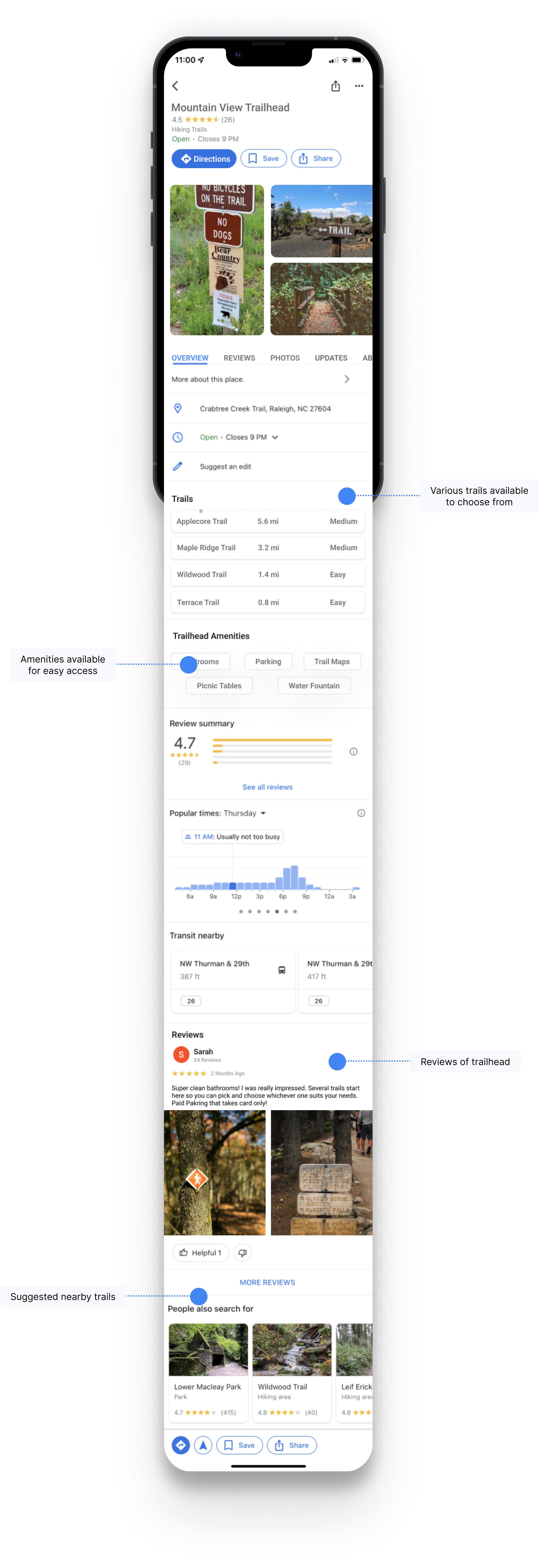
Throughout the pandemic, we turned to the great outdoors to stretch our limbs without coming across other people. As we continue to adjust our lives with the virus, the desire to continue exploring new adventures remains. Google Maps is one of the top resources to locate and navigate to a trailhead. However, there is no information about any of the tail routes. We are left to our own resources to research the trail's route, length, conditions and difficulty level.
What if we were able to research and explore new trails in the same app we already use for GPS navigation?
To answer this question, I dived into my research within the hiking community.
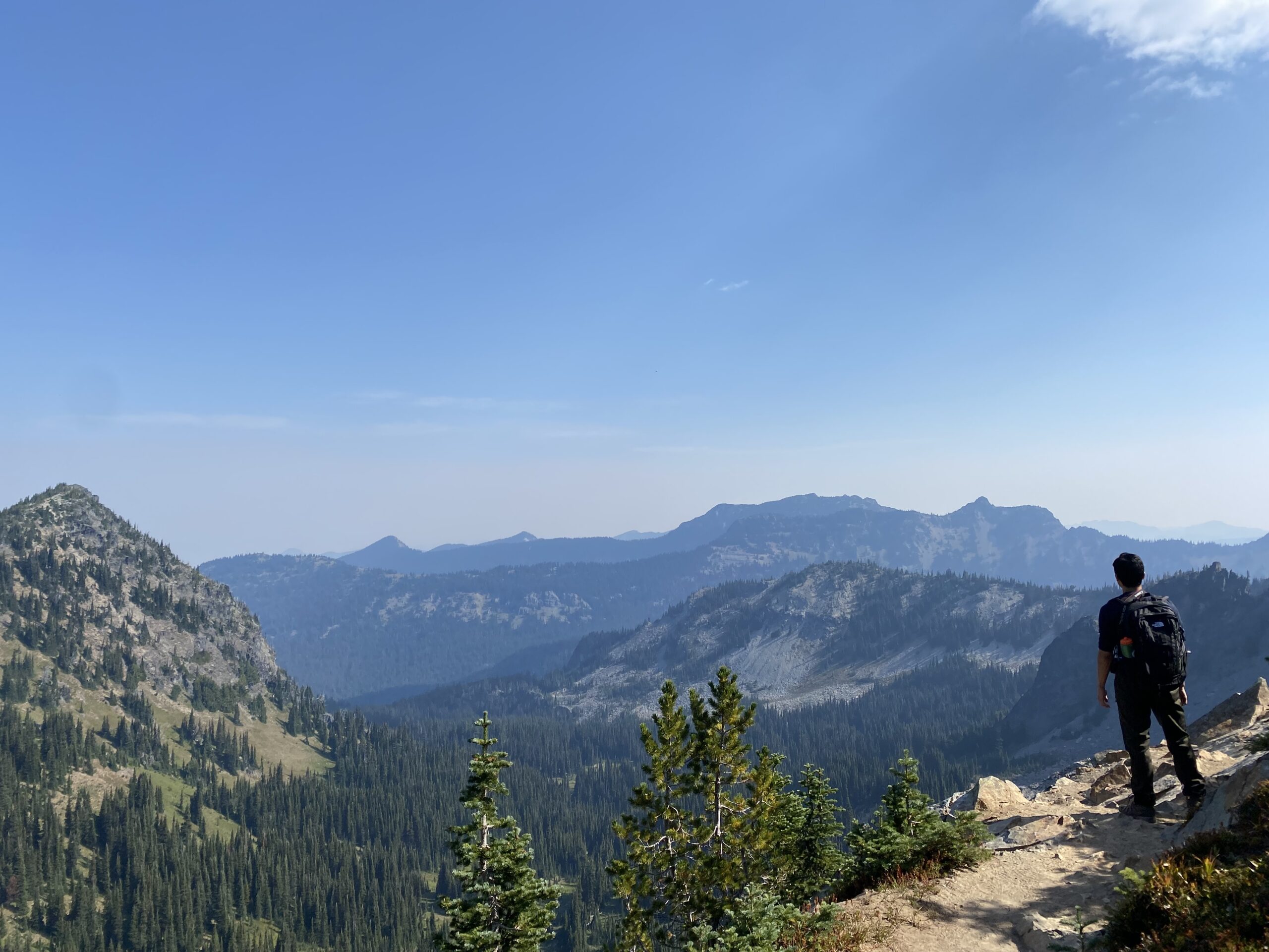
Mount Rainier National Park
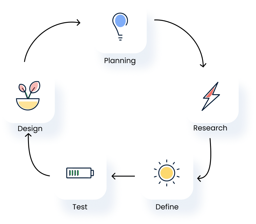
Design Process
User Survey
To gain insights into the lives of hikers, I reached out to the hiking subreddit community and received responses from 27 individuals who regularly hike.
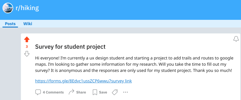
Hiking subreddit post seeking survey participants
Top 5 items hikers consider when deciding on a trail
1. Difficulty
2. Location
3. Distance
4. Features
5. Reviews
66%
use Google Maps for daily navigation
55%
use AllTrails app for hiking
81%
would use a trail feature in Google Maps
Contextual Inquiry
Recalling specific details of past hikes can be challenging. To gain a better understanding of the hiking experience, I decided to follow a hiker's journey from trail discovery to trailhead.
*Due to scheduling conflict, we did not complete the selected hike

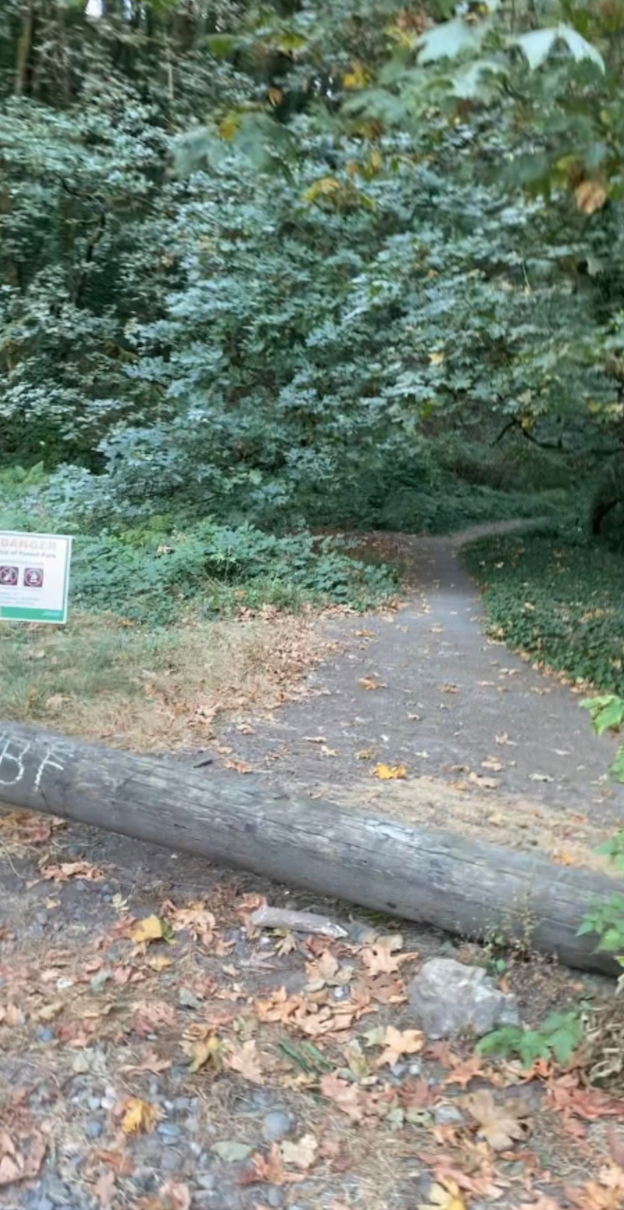
Trail Entrance
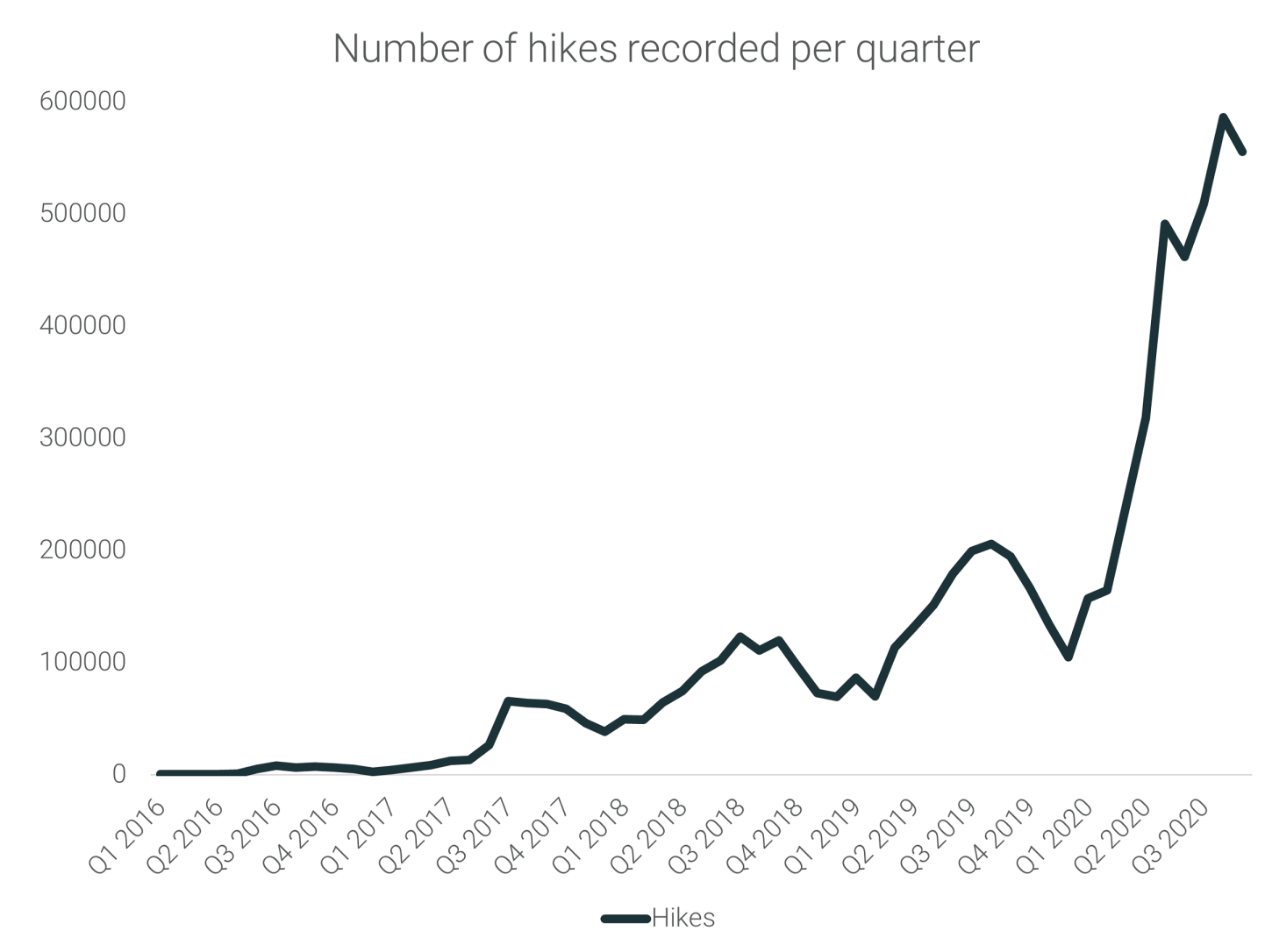
There has been a significant increase in recorded US hikes recently compared to pre-COVID years.
This observation supports my hypothesis that Americans have been turning to the outdoors as a way to cope with quarantine measures.
Statistic sourced from runrepeat.com
User Goals
Identify a new hike easily
Travel to new locations with confidence
Track and document new trails to share
User Painpoints
Losing cell data and access to maps offline
Spending time researching hike details
Using more than 1 mobile app for hiking trip
Low-Fi Usability Testing
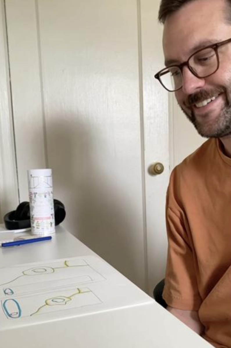
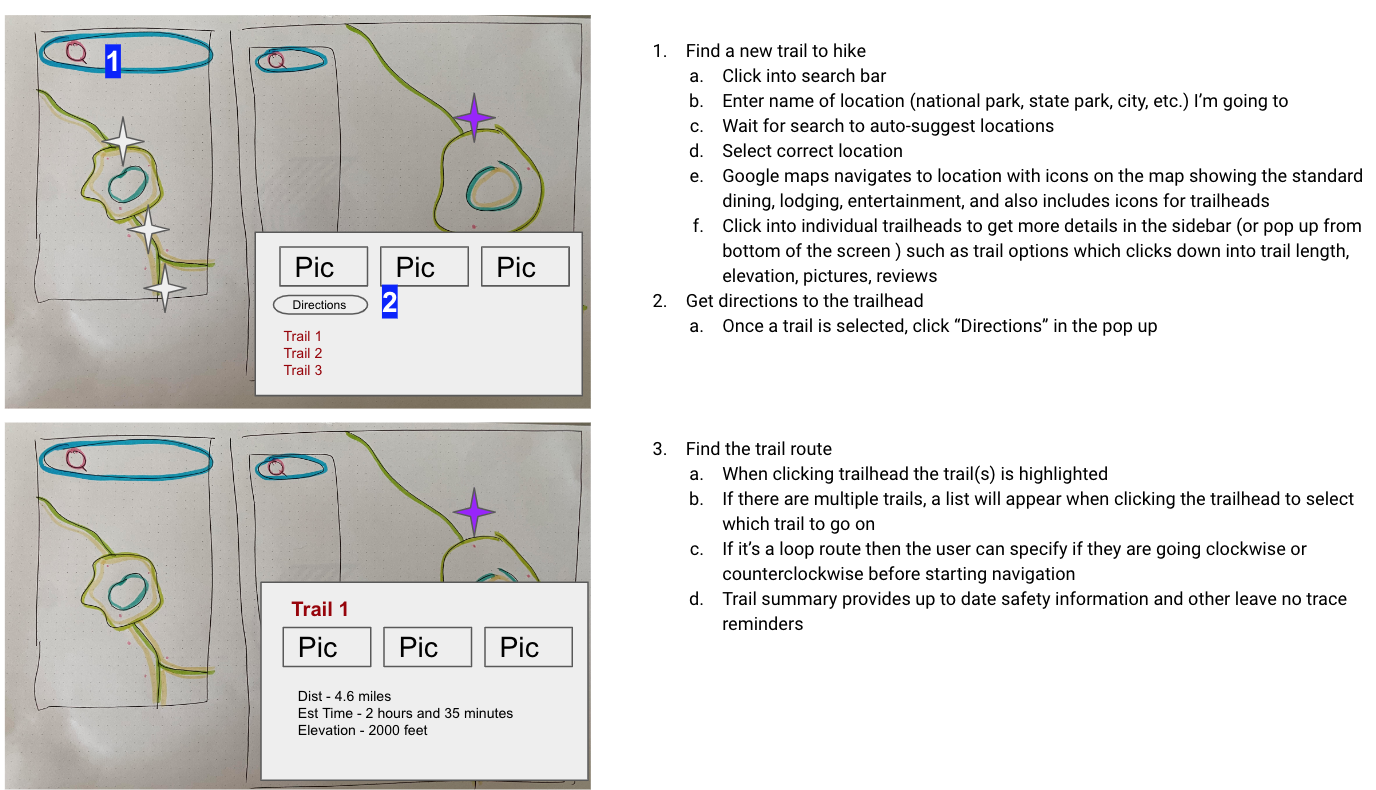
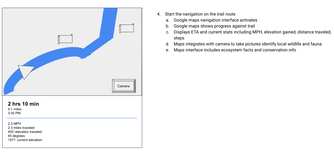
To understand how users expect to interact with Google Maps and where they anticipate a trail feature to be integrated, I conducted usability tests with 2 participants. I asked them to identify the actions they would take to complete tasks and describe their expectations for each step while interacting with the sketch. One test was conducted in person, while the other was done via email and screenshots.
Usability test #1
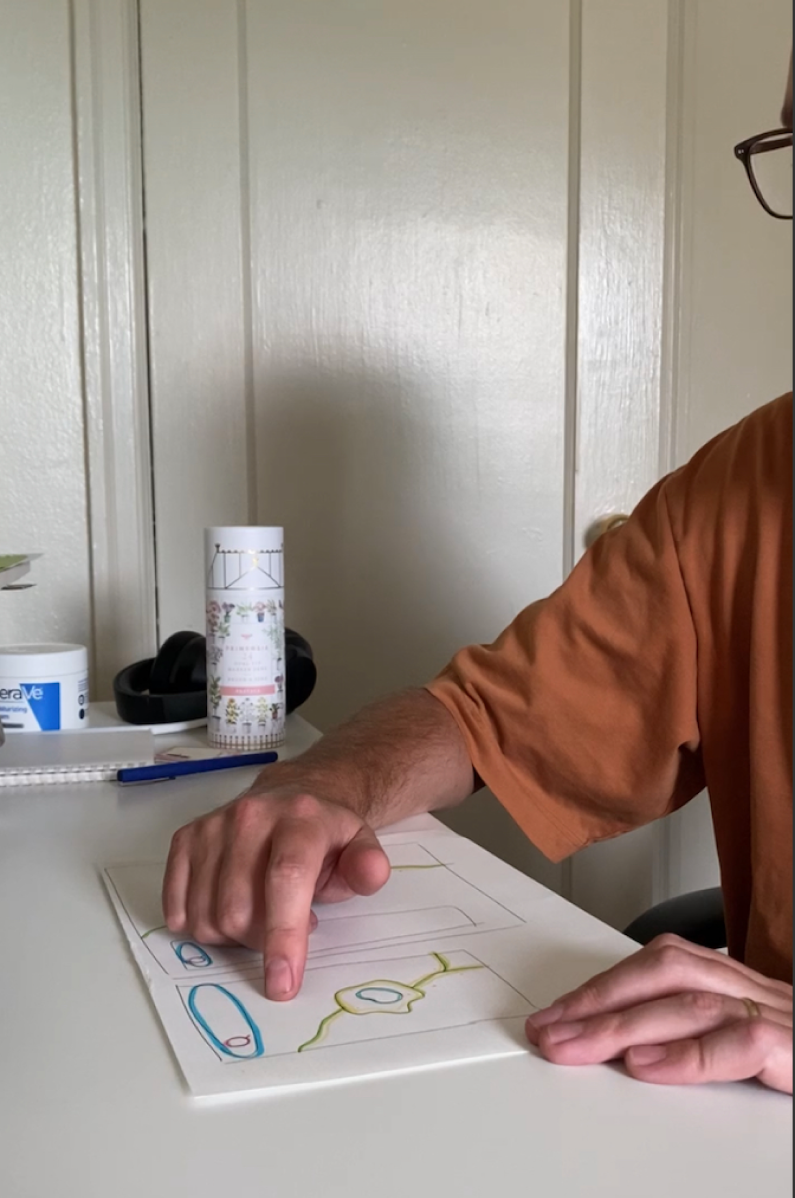
Usability test #2

Next Steps
The plan is to include additional features in the interface, such as wayfinders, that will provide more information about each trail, including places to camp, rest, and grab a bite to eat. Additionally, users can share trail tips and notes, which will also be displayed.

